Maps Suddenly Look Like El Nino – What That Could Mean for The Northland’s Winter?
Something is up with the weather. No kidding, Paul. Something is always up with Northland Weather, which is definitely not for the faint of heart. This may not be a character-building January, after all. It was the flooding in California, coupled with a very wet 7-Day Outlook for the western USA that caught my eye:
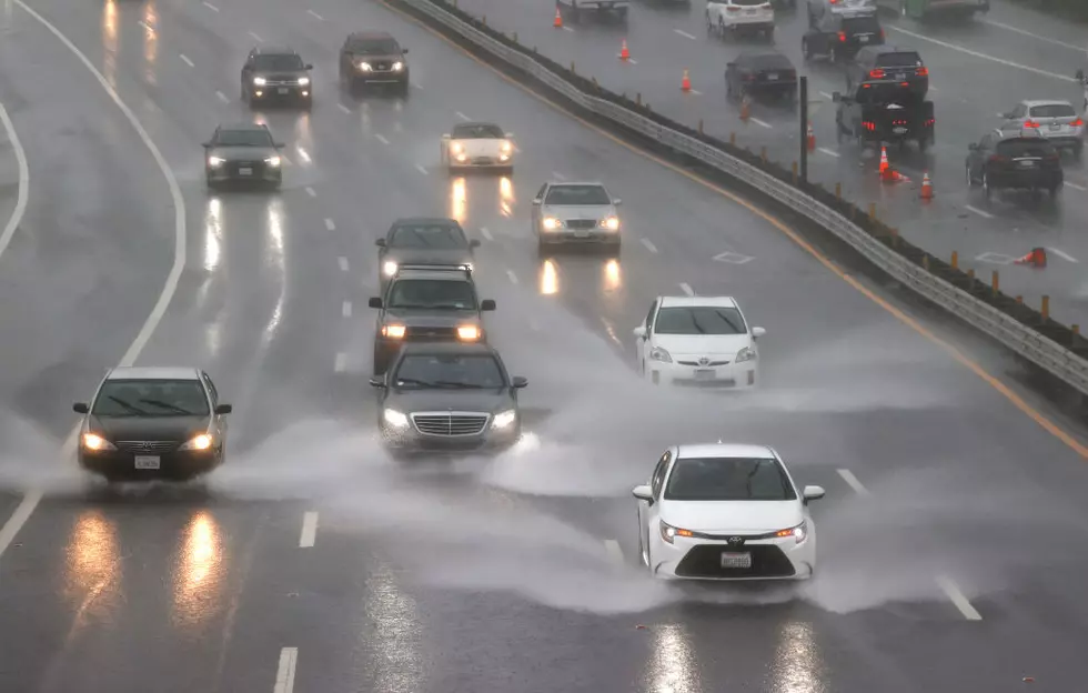
Those are 10-20" precipitation forecasts for parts of California, on top of several feet of rain that has already fallen. Again, this is a strong signal and possible El Nino cue.
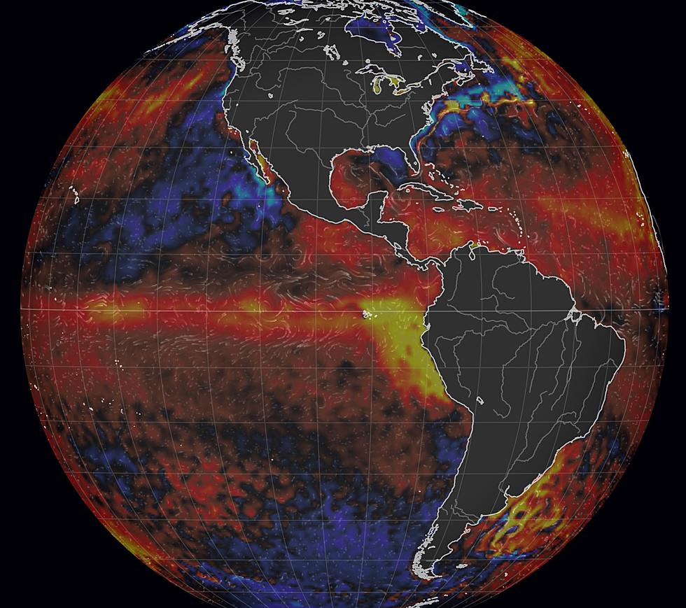
In early December we had a few arctic slaps and plenty of snow - nearly 44" last month meant it was the second snowiest December on record at Duluth. But now the maps have shifted. Instead of a parade of clippers pulling bitter air southward out of Canada, jet stream steering winds aloft are howling from the west and even the southwest, allowing consistently milder, Pacific air to cross the Rockies and push into the Upper Midwest. California has seen record flooding in recent weeks, which is common during El Nino warm phases in the Pacific Ocean. Up until recently we've been under the influence of La Nina, a cold phase of the Pacific, which correlates with colder than average winters for The Northland. But something is up. The parade of California storms is one of several tip-offs suggesting El Nino (forecast to arrive later in 2023) may be on fast-forward, with symptoms of Pacific warming showing up NOW!
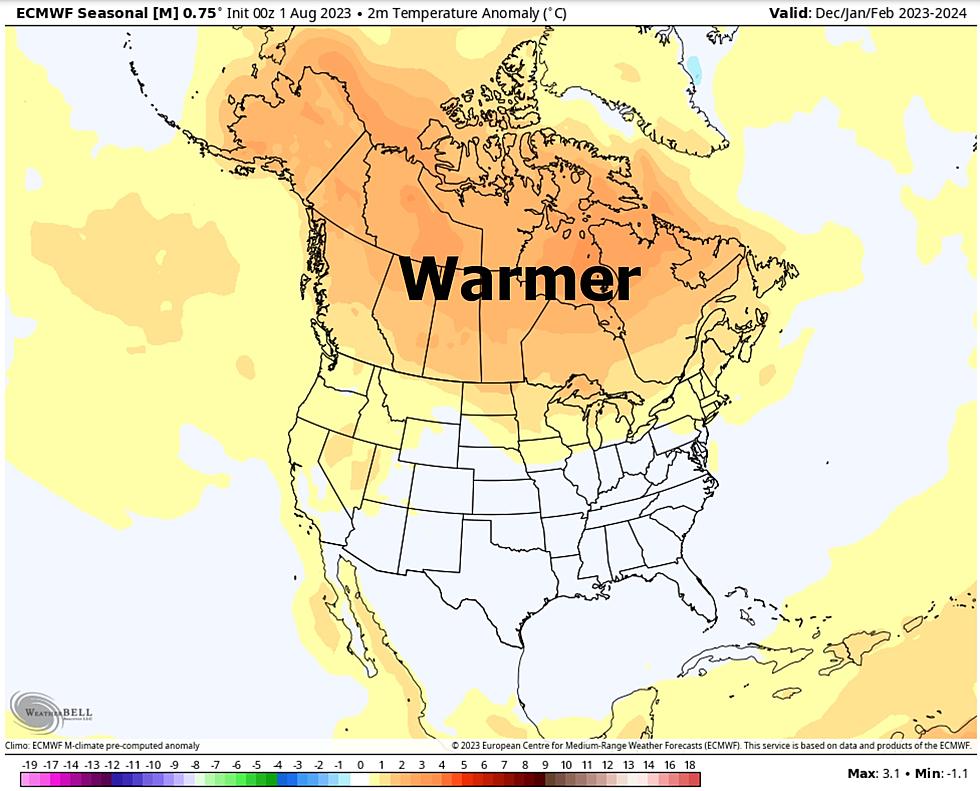
It's still early and confidence levels are low, especially when hand-waving about weather for the next few months, but if (a big if) the El Nino signal is real and consistent, we could be looking at milder than average temperatures for the rest of the winter, possibly a significantly warmer than average 2023. Time will tell but the weather appears to be locked in a "zonal" west-to-east Pacific flow for the next couple of weeks. Exhibit A:
Say what? This is the coldest month of the year, when subzero outbreaks are most likely, and here we are looking at a streak of 20s (above zero) into the third week of January? Wow. The ECMWF above (European model) has no subzero lows for Denver for roughly the next 2 weeks, which should be newsworthy.
One thing is certain: winter hasn't be cancelled. But if El Nino is, in fact, kicking in (now) the rest of winter may not be as harsh as many meteorologists were predicting a few months ago. The extended outlook is (always) up in the air, but this bears watching.
More From KOOL 101.7


