Warmer, Drier, Smokier & Icier? Implications of a Brewing Super El Nino on the Northland
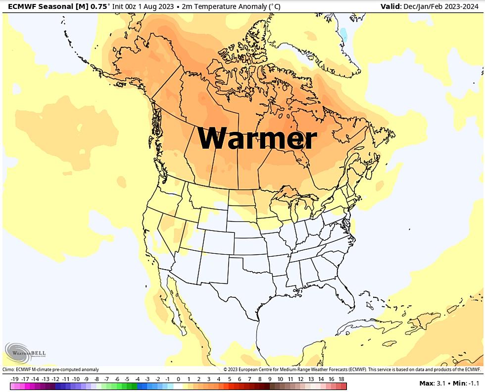
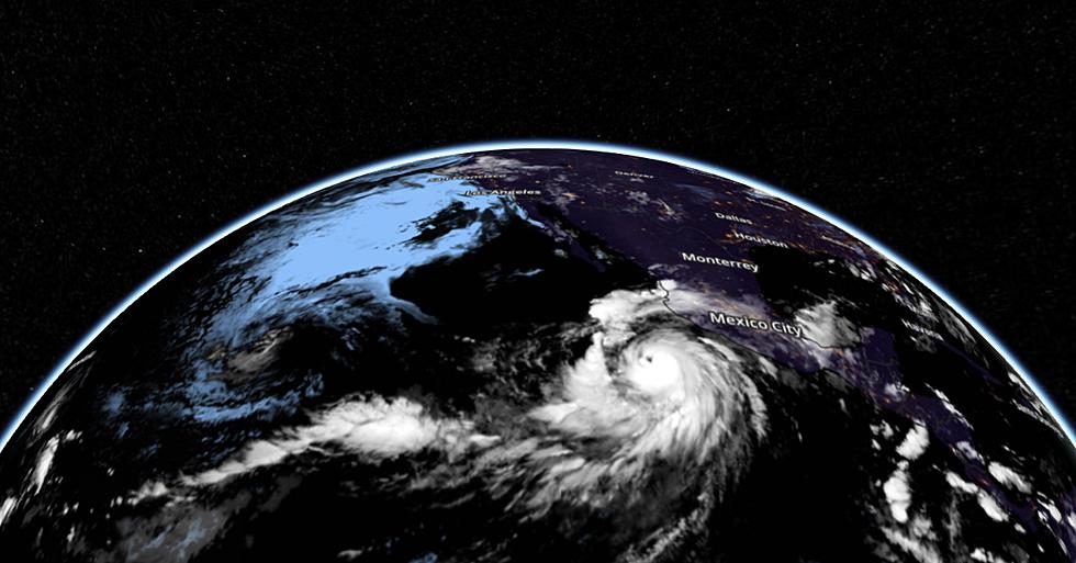
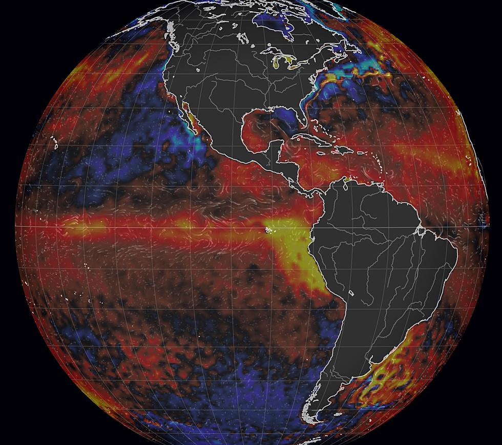
"May you live in interesting times" the old proverb goes. And apparently it's not a compliment, but more of a warning. According to NOAA we are now in an El Nino warm phase of the equatorial Pacific Ocean, and that has implications for our weather looking out nearly a year or so, certainly into the winter months. El Nino is an "influencer" - this relatively warm stain of water to our west can nudge the weather in a specific direction. Most El Nino years are warmer and drier for Minnesota, Wisconsin and the northern tier of the US, while cooler and wetter across the southern US and Gulf Coast. Click here to see a real-time visualization of sea surface temperature anomalies around the world.

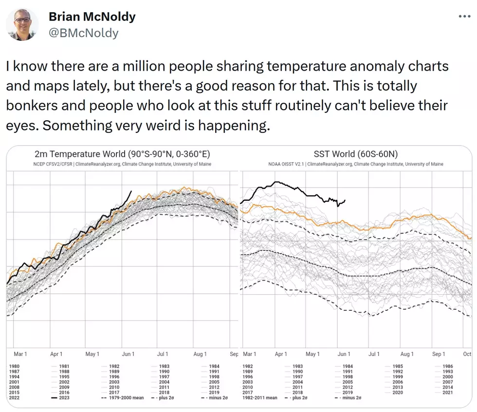
After a 3-year La Nina cool phase of the Pacific, the tables have turned and water temperatures are rising at a rapid rate. In fact, it's not just the Pacific Ocean that is warming, but the entire world's oceans, and compared to average and previous years the rate of warming is simply jaw-dropping. Here is Exhibit A:

As you can see from the graphic above from Climate Reanalyzer, compared to previous years (all those blue lines) we are in uncharted waters with the current surge of warming in 2023 (red line). Why is this happening? Nobody really knows, other than the most obvious answer: 93% of the world's greenhouse gas warming (additional warming caused by burning fossil fuels) goes into the oceans, not the atmosphere. With La Nina fading and less sulfur dioxide air pollution across much of the planet, air and water temperatures are taking off like we've never seen before. Some are calling it a climate tipping point. I wouldn't go that far (yet) but the trends are, in fact, worrisome.


El Nino impacts weather patterns thousands of miles downwind of the Pacific Ocean. The Upper Midwest tends to trend warmer and drier, with some of the biggest (wettest) storms detouring well to our south. Not every time, but much of the time.
What might we expect in the Northland as El Nino continues to intensify?
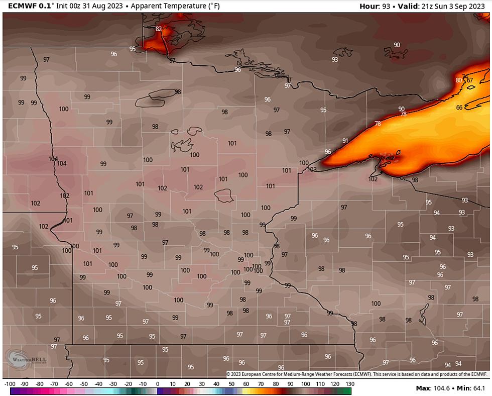
- Hotter, drier summer. Potential for statewide drought increases.
- Drier trend over Canada, implying more fires and wildfire smoke downwind over the USA
- Longer, warmer autumn.
- Significantly milder winter for 2023-2024. Of course it will snow, but we may see more ice and "mixed precipitation" storms, with fewer subzero outbreaks.
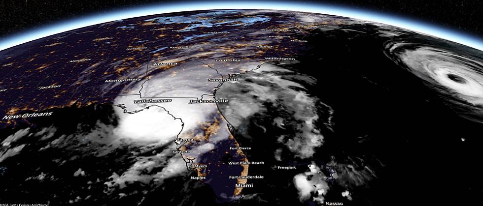
- Things we haven't seen before. 2023 or 2024 may be the warmest year, worldwide, on record. This may impact the frequency of flash flooding and strengthen hurricanes coming ashore, especially near Florida and Gulf Coast.
Meteorologists and climate scientists are shaking their heads in unison these days. Sure the planet is warming, but the current warming we are experiencing is more of a spike, and that is concerning. The honest answer is: we don't know the details of how this will all play out, but pay attention, and realize the next 12 months or so may bring even more unusual weather patterns to the planet (and the Northland). Bonkers weather? Count on it.
Expect the unexpected - this could be an El Nino like no other.
The Signs of Drought Stress on Trees
Gallery Credit: Nathan Adams
More From KOOL 101.7