Here’s When To Expect The Heaviest Snow + Updated Snowfall Expectations From November 30 Duluth Blizzard
Just a few days after parts of the region got 6-10 (or more) inches of snow, the Northland is set to get an even bigger storm, with blizzard-like conditions and greater snowfall totals targeting the Twin Ports area Saturday and Sunday.
The Duluth National Weather Service has shared with the public an expected timing for this storm, illustrating when we could see the heaviest snow and strongest wind gusts, as well as updated snowfall totals. Here's the breakdown for the immediate Twin Ports area .
Snow will continue to intensify into the afternoon hours, with heavy snow anticipated to pick up around noon. As the graphic below illustrates, snow could fall at a pace just under an inch an hour, with over 5 inches of snow possible by 6 pm. Snow intensifies further, with a pace of over an inch per hour of snow falling from 6 pm until around midnight, bringing a potential of over 8 inches of snow during that period. Snow taper off slightly but will remain intense from midnight until 6 am, bringing a potential of another 5 inches of snow before continuing to taper off through the morning hours until around noon on Sunday.
As you might expect, the strongest wind gusts will happen during the strongest part of the storm. Wind gusts of over 30 mph are anticipated during much of the storm, increasing to over 40 mph during much of the heaviest snow late Saturday. This combined heavy snow and strong wind situation will make travel extremely difficult to nearly impossible.

UPDATED 3:20 PM 11/30
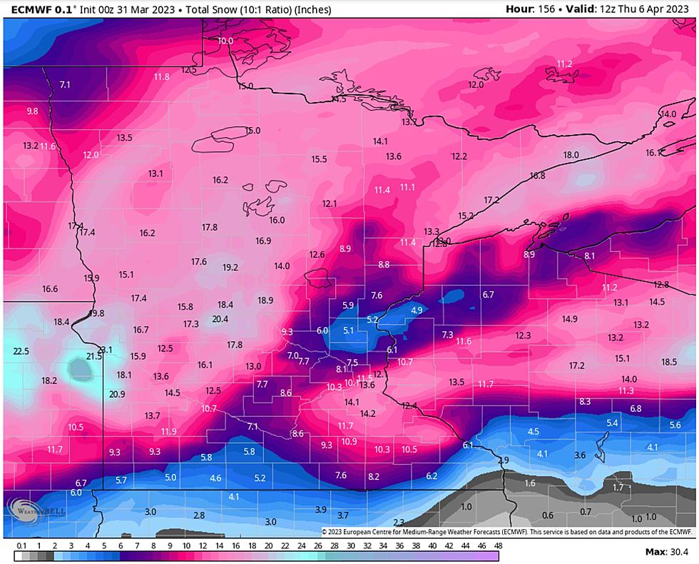
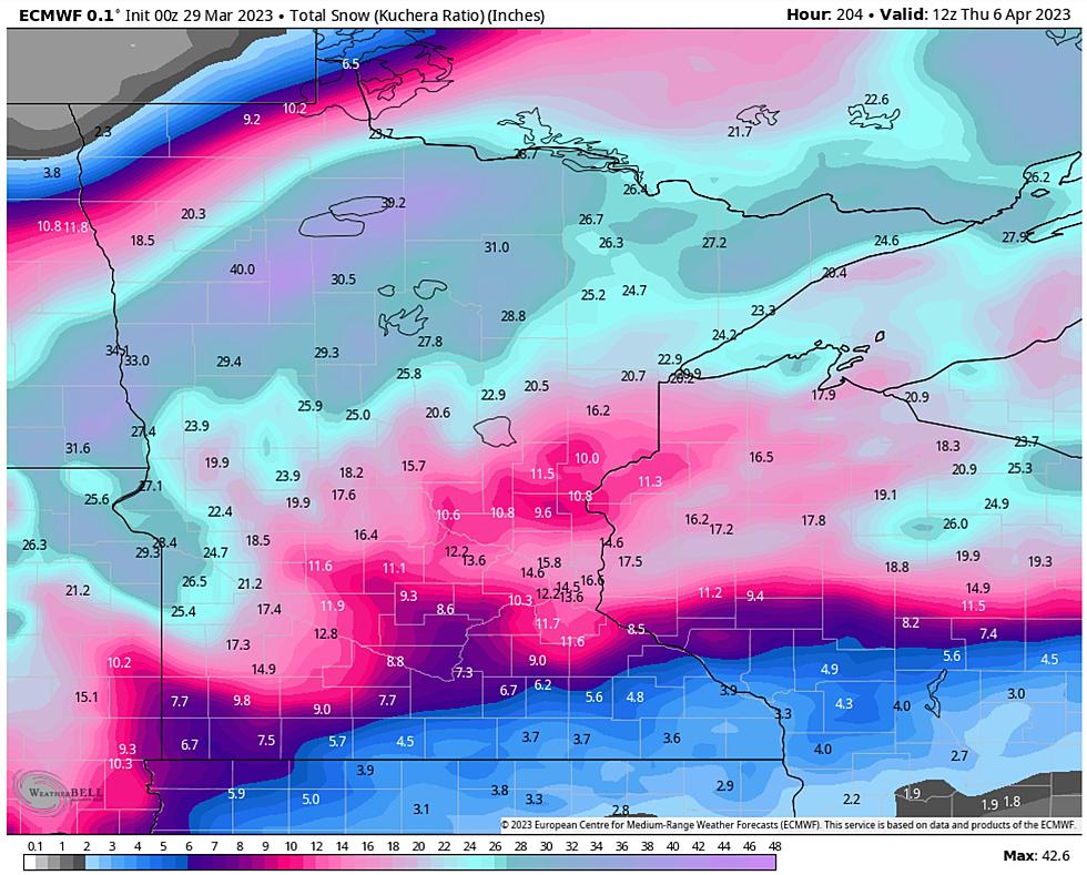
Here is an updated map of forecasted snowfall totals for the region, along with an additional breakdown of the storm. The numbers have come down slightly for much of the region since Saturday morning's forecast, but still show 10-16 inches possible for the immediate Twin Ports area and the North Shore. The Bayfield Peninsula could still see over a foot to 20 inches. Much of the rest of the region could see 6-10 inches, with lesser amounts toward the Iron Range and the extreme northern tip of the Arrowhead.
More From KOOL 101.7


