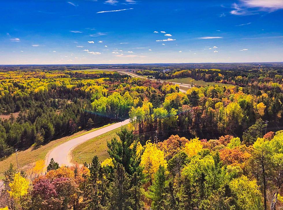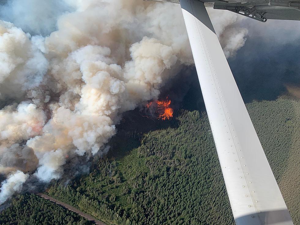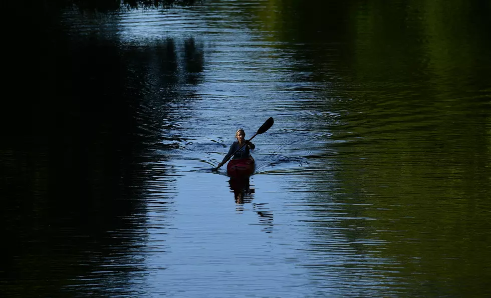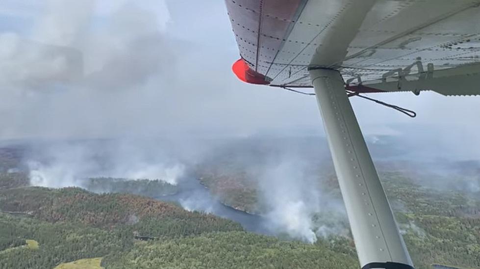
US Forest Service Shares Aerial Video Of BWCA Wildfires Burning
The U.S. Forest Service-Superior National Forest is working with the Ontario Natural Rescources everyday to monitor the wildfires burning just across the border from the Boundary Waters Canoe Area.
You can see several fires burning and thick smoke filling the air. The extreme drought this summer has created a critical fire danger that is in place today and much of the month. The wilderness area is closed due to the fire activity.
According to Queticosuperior.org, the Whelp fire has caused the Forest service to close the following portions of the BWCA:
- Hub Lake
- Mesaba Lake
- Dent Lake
- Chaser Lake
- Bug Lake
- Louse Lake
- Louse River
- Poe Lake
- Mug Lake
- Wine Lake
- Frederick Lake
- Hug Lake
- Duck Lake
- Zenith Lake
- Trail Lake
- Boze Lake
- Frond Lake
- Lujenida Lake

Other significant fires have started in Northern Minnesota. The Greenwood fire 15 miles southwest of Isabella has moved very quickly due to dry vegetation and strong wind gusts. According to BringMeTheNews, the fire has surpassed 3200 acres and is completely uncontained. Fire crews are in the early stages of combating this fire. Some areas have been closed such as the McDougal Lake boat ramps, picnic areas, and recreation area. Evacuations may be needed for the lake.
Many other smaller fires have been contained. More are developing. The Minnesota DNR has banned all campfires on any of their manage land. That includes at campsites, with or without a ring. There also are burning restrictions across the state.
LOOK: The most expensive weather and climate disasters in recent decades
Gallery Credit: KATELYN LEBOFF
The 100 Best Places to Live in the Midwest
More From KOOL 101.7