Significant Ice Storm Brewing: Glaze Ice, Snow, 50 Mph Gusts and Lakeshore Flooding Targeting Minnesota
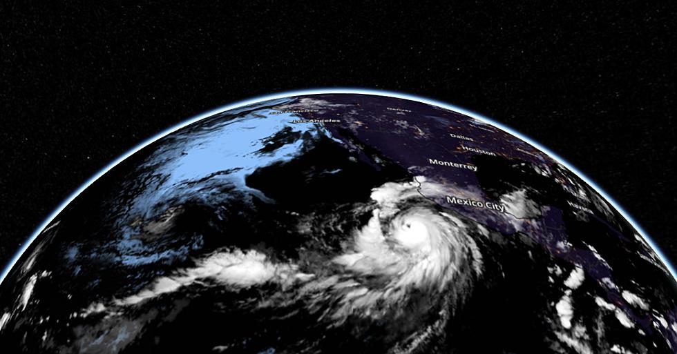
Here we go again. Every new storm is uniquely frustrating to try and predict, and the next system moving in Tuesday and Wednesday is no exception. Plan on snow, ice, wind, possible thunder and even an enhanced risk of lakeshore flooding in the Duluth/Superior area due to sustained and powerful northeast winds.
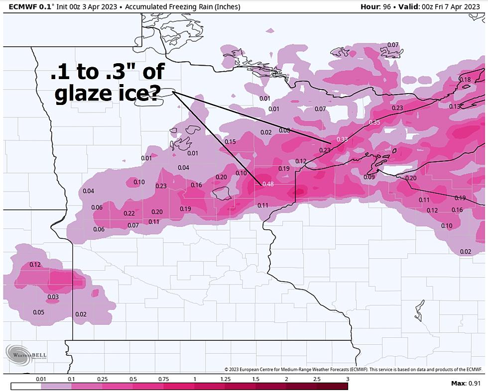
I am most concerned about glaze ice, as temperatures warm aloft, changing snow over to rain Tuesday, but surface temperatures remain at or just below 32F. Rain will begin to freeze on cold surfaces, starting with bridge decks, and ECMWF (European) model data suggests .1 to .3" of sheer ice building up by Tuesday night, possibly enough to bring down a few small tree limbs (and knock out powerlines in a few towns).

Here are the predicted weather conditions around midnight Tuesday night, with rain for the Twin Cities, all-snow over the Red River Valley, and an icy mix of freezing rain and sleet for the Northland as the center of low pressure reaches Mankato.

10m winds Wednesday afternoon on the backside of this powerful storm may gust as high as 50 mph over parts of central and southern Minnesota, with 60 mph gusts possible along the North Shore. Northeast winds may be strong enough for minor lakeshore flooding in the Duluth-Superior area that have flooded in the past.

I included an excerpt (above) from the public-facing Forecast Discussion from the Duluth office of the National Weather Service, discussing the possibility of lakeshore flooding. For the latest details (a bit wonky but great fodder for weather nerds like me) click here. If you've experienced flooding in the past you should pay attention.

There will be a period of snow as temperatures aloft begin to cool down again on Wednesday, possibly 3-6" with up to 10" along the North Shore, enhanced by lake effect. Generally speaking the Red River Valley should pick up the most snow from this next storm (no changeover to rain or ice there - all snow).


If you are sick and tired of snow and ice and potholes, there is some good news. We finally come out of this March-like pattern next weekend with a spell of 50s in mid-April. The more snow we melt, the milder it can get as more of the sun's energy goes into heating up the air.
By my calculations we've picked up 129" of snow so far this winter, the 5th snowiest on record for the Twin Ports. All we need is another 6.5" to set a new all-time record. I'm not sure we'll get that much, but a Top 3 Snowfall Winter seems all but assured.
Hey, if we're getting crazy weather - let's go for bragging rights, right?
Once again we will earn our summer here in the Northland.
Wow! Best Life Hacks for Spring Cleaning
Gallery Credit: Credit: Canva
More From KOOL 101.7