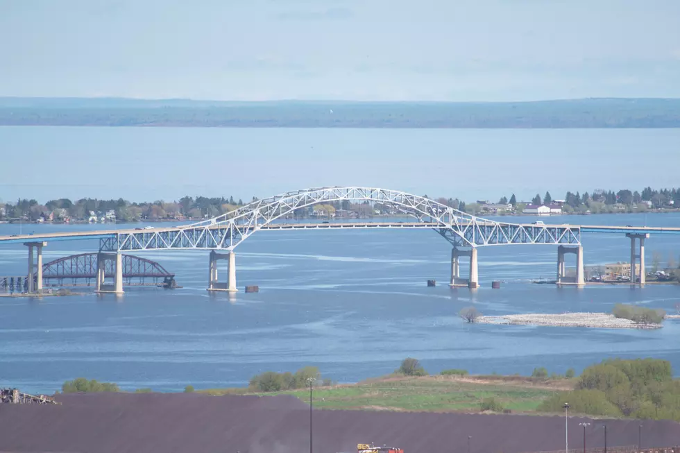
Interactive Map Lets You See Blatnik Bridge Replacement Proposals
There's a lot of talk about the planned replacement for the Blatnik Bridge - but what will those plans look like? One of the elements that came out of the most-recent public meetings about the project is the desire by the Minnesota Department of Transportation and the Wisconsin Department of Transportation to encourage and collect as much feedback as possible; and the earlier in the design process the better. But before you can comment on a plan, it helps to be able to see it and compare it to the other proposals on the table.
That's the impetus behind an interactive map of the various proposals that has been posted on the Minnesota Department of Transportation's website. According to information released by MNDOT as they map was introduced:
"The project team has created multiple proposed concepts for three sections of the project: Garfield Avenue to Hammond Avenue, Garfield Avenue to Highway 53, and Garfield Avenue to Highway 53 along Connors Point. [With the interactive map, t]he public is able to click on map (sic) and write comments, draw in suggested alignments, and note concerns or opportunities."
MNDOT has also included a variety of notes about the pros and cons of each of the designs already on the map - to note known issues. A quick scan of the map makes for an interesting look at one of the major pieces of transportation infrastructure in the Twin Ports and the proposed changes that might impact it.

Along with the map, the Minnesota Department of Transportation has also posted recordings of past public meetings, Powerpoint presentations, and other documents and historical information on the Blatnik Bridge; the resources available on the website make it a valuable clearing house of information.
The 100 Best Places to Live in the Midwest
More From KOOL 101.7


