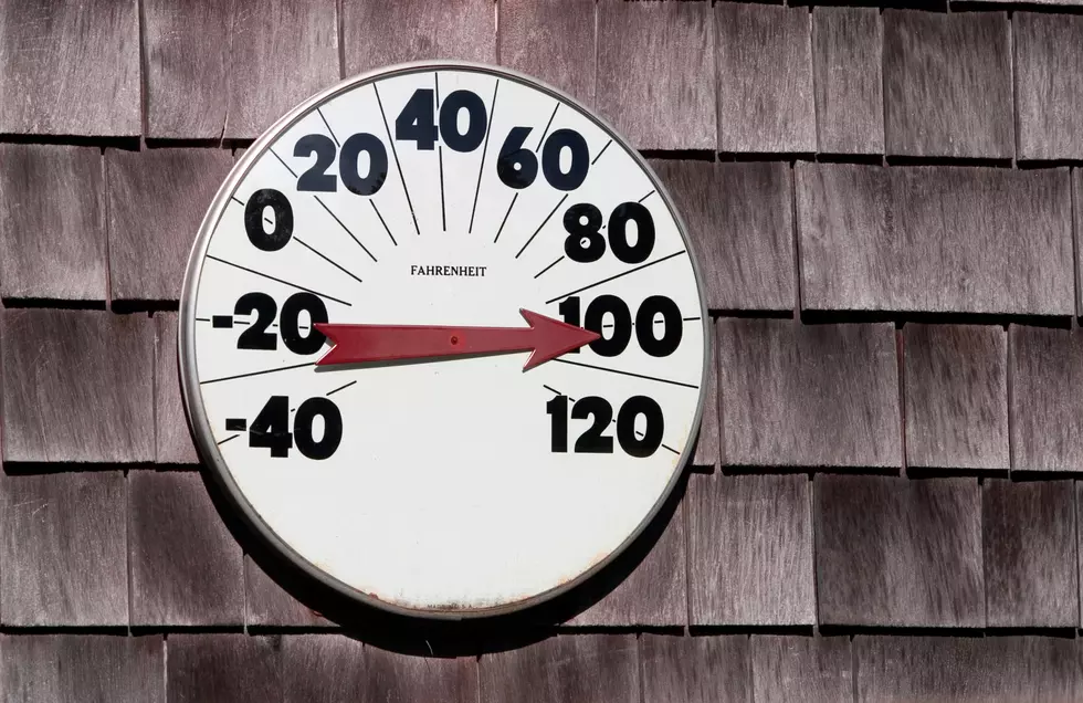
Coming In Hot? Duluth NWS Office Says There’s A Chance July Could Start With ‘Excessive Heat’
Minnesota and Wisconsin have already seen one blast of summer heat, and forecasters with NOAA and the National Weather Service are eying a chance for another round developing as we slide into July in the Northland.
In a post on their Facebook page, the Duluth office of the National Weather Service shared that there is a slight chance of seeing excessive heat spanning across Minnesota and through the western half of Wisconsin into the early parts of July.
The key word as of right now is slight. But it is good to be aware of, as it might impact your plans for the big holiday weekend or just for everyday life. That's the reason these types of messages get shared. Not to declare "it's going to happen!", but rather to let people know something could happen based on current information.
So, what's happening?
A patch of excessive heat will impact the Pacific Northwest and into the northern Rocky Mountains, which is the culprit that could lead to that chance of excessive heat across the Upper Midwest in the last couple days of June and into July.

When there is an outlook for an area, like the one on the map below, that means that a combination of temperature and humidity could develop in the forecast window where people and animals may need to take precautions against the heat. Moreso than just normal summer warmth would require.
When could it happen in our region?
The map below shows almost all of Minnesota and the western portion of Wisconsin in the "slight" risk area for excessive heat possible during a window between June 29 and July 5. That slight risk implies a 20% chance of seeing abnormally hot temperatures for all of the Northland, with additional details from the Climate Prediction Center explaining that those hotter temperatures could be seen through the first 7 days of July - if they happen.

They also note on the Climate Prediction Center's website (as of the time of this post being published) that the high pressure that will cause the heat to cook up out to the west is expected to weaken through the middle of next week ahead of the 4th of July weekend. That could reduce the potential for hotter temperatures.
What could it mean for the Northland?
The Climate Prediction Center breaks down the potential of temperatures through the first 7 days of July, showing that there is a 20% chance of seeing temperatures in excess of 90 degrees in the southern half of Minnesota and Wisconsin. The greater likelihood for the Northland is seeing temperatures in the 80s to start off July.
The Twin Ports, through the first 7 days of July, sees between a 30-40% chance of temps above 80 degrees according to CPC predictions. No surprise here, but the further away from Lake Superior you get, the greater the odds of 80+ degree temperatures.
The big thing to know is that this is all model information for over a week away, which is why there are so many probabilities and percentages being used. I always say this - a lot can change in a forecast in a matter of a few days. Heck, a lot can change around the Northland in a matter of a couple hours. Remember how we went from 90+ to around 50 degrees in a matter of an hour or two a couple weeks ago?
10 Major Summer Weather Events In Northland History
11 Activities To Do When The Weather Is Too Hot Outside
More From KOOL 101.7