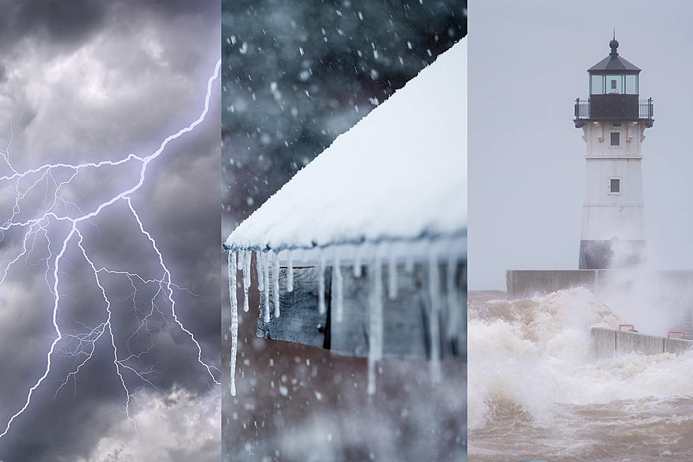
National Weather Service Issues Winter Storm Warning For Weekend Snow Storm
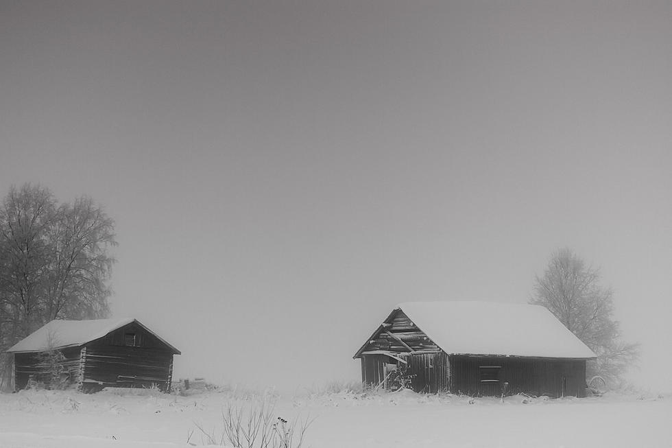
As the area cleans up from our Thursday night-Friday morning storm, Mother Nature is bringing another, potentially bigger storm into the picture for this weekend. The National Weather Service has issued a winter storm warning for this snow event, which could bring even more snow with it.
This winter storm warning is from 9 pm Saturday evening through noon Sunday for the entire Twin Ports region, and all of the North and South Shores. A winter storm warning means severe winter weather conditions will make travel very hazardous or impossible. If you must travel, keep an extra flashlight, food and water in your vehicle in case of an emergency.
What to Expect
Snow is expected to push into the area between 6 pm and 8 pm on Saturday evening and increase in intensity as the night goes on. As of right now, the heaviest snowfall is expected between 8 pm and midnight, with snow tapering off through Sunday morning.
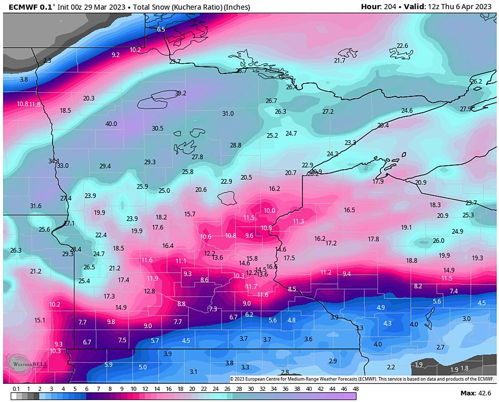
Snowfall forecasts from the National Weather Service call for 4-7 inches of snow from this storm, with some localized higher snowfall totals in places. A lake wind could influence snowfall totals near Lake Superior, providing lake enhancement along the North Shore that could lead to 10+ inches of snow before this storm moves out. Lake enhancement in the immediate Twin Ports area is also possible, with 8-10 inches possible around much of the head of the lake.
Windy conditions are expected to persist through the day on Sunday, leading to blowing and drifting snow, even after the storm passes. This will keep travel conditions difficult through much of the day on Sunday.
Travel is expected to be very difficult during this storm, as heavy snowfall is anticipated at times, and windy conditions will accompany this storm, which will add blowing and drifting snow to an already treacherous set of travel conditions.
More From KOOL 101.7