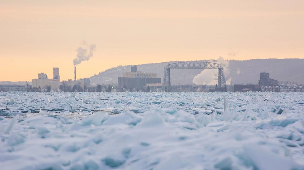
National Weather Service Downgrades Severity Of Weekend Storm For Twin Ports, Shifts Path South
All eyes have been on a storm set to impact the early parts of next week with significant snowfall. The National Weather Service has now issued their weather advisories and warnings for the storm, along with new snowfall predictions.
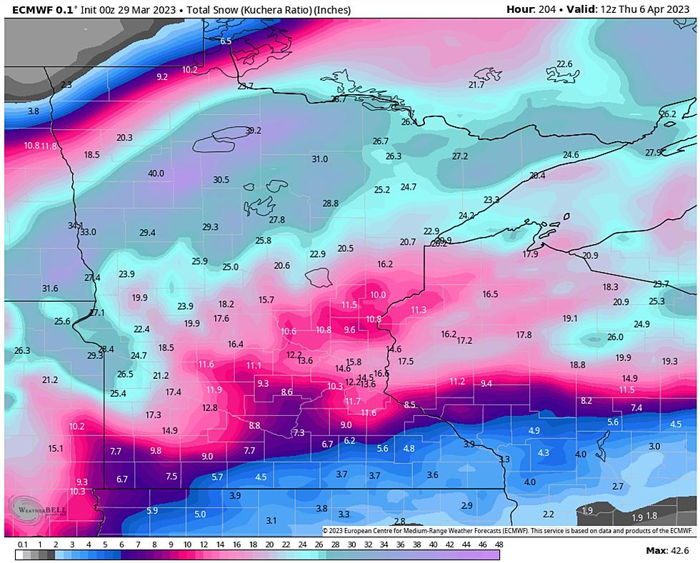
It often happens where longer-range forecasts point to different outcomes than forecasts that are closer to the actual event. This storm is no different. Early forecasts had snowfall totals north of 20 inches in some cases in what could have been a storm for the history books. While this storm looks significantly more tame than that forecast, it will still bring messy conditions to the region that will have an impact on travel.
Forecast
As of right now, the immediate Twin Ports area is forecasted to see 3-5 inches of snow from this system. The majority of heavy snowfall is likely to fall to the south and east, impacting areas like Hayward, Ashland, etc. The big thing to know is that with the storm still a couple days away, and the slightest shift in the path of this storm could mean almost no snow for the Twin Ports, or almost a foot of snow. As you can see in the graphic below, the Duluth-Superior area is right on the edge of that line between very heavy snow and almost no snow at all, making any changes in the path of this storm having a major impact on the outcome for our area.
Even with the current forecast totals of 3-5 inches of snow, windy conditions are going to be a factor with this storm. Blowing and drifting snow will take whatever snowfall we do see and make travel conditions unpleasant during the storm.
One factor that might have an impact on snowfall totals is the potential for some lake enhancement. A pretty strong wind off the lake has the potential to increase snowfall totals near Lake Superior, which could take a forecasted 3-5 inches and inflate it. This aspect of the storm is very difficult to forecast, and may or may not have a major impact on the final snowfall totals for this storm for areas near Lake Superior.
Timing
Snow flurries will develop Sunday evening, and persist through much of the day on Monday. The heaviest snowfall for the Twin Ports area is expected to pick up around lunchtime and persist through Monday afternoon. Snow should wrap up by Monday night.
More From KOOL 101.7