Credit: Paul Douglas
You’re Not Hallucinating: Why Do Storms Often “Split” While Approaching Duluth/Superior?
Credit: Paul Douglas
"Paul, I've grown up here and more times than not, lines of thunderstorms seem to split and weaken as they pass over Duluth and Superior. What the heck is going on?"
It's a question I get all the time, and there appears to be a pretty good explanation for what is happening. And that explanation goes by the nickname of Lake Superior.
Of course there are exceptions to this squishy "rule": the massive flooding of June, 2012 comes to mind, among others. But more times than not the heaviest storms do, in fact, pass just north or just south of KDLH. What gives?

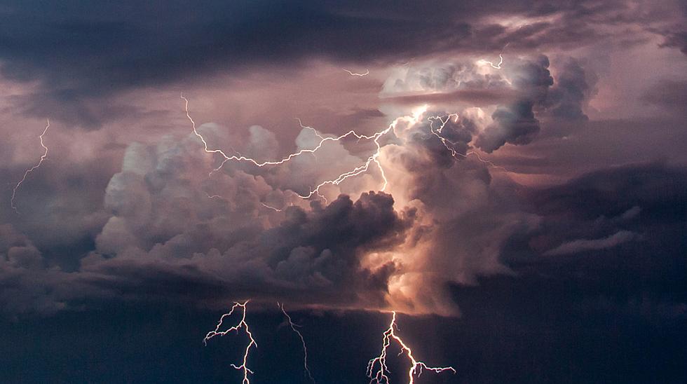
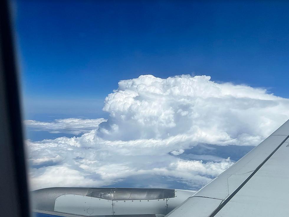
The severe thunderstorm outbreak last Thursday was Exhibit A. A seemingly solid line of cumulonimbus clouds (thunderstorms) is approaching from the west, but as they get close to the downtowns they appear to weaken and split, with the strongest storms passing south of Superior over northern Wisconsin, with more storms heading north over the Minnesota Arrowhead. Duluth and Superior get a little rain and lightning, but nothing like what is sliding off to our south.
Note to self: I don't think anyone was wishing for tennis-ball size hail, but many listeners were bummed that the heaviest rains passed south (and north) of downtown Duluth.


You can even pick up the phenomena on the rainfall summary from last Thursday's severe storm outbreak, courtesy of the Duluth office of the National Weather Service. Very little rain for Duluth/Superior, but several swaths of 2-4" amounts just to our south.
What in the name of Doppler Radar is going on?
The most logical scientific explanation: much like a car engine that sputters due to a blockage in the fuel line, thunderstorms sputter and weaken as they approach Lake Superior, where water temperatures are often 30-35 degrees colder than surrounding land. You can even see it on a warm, quiet day in the Northland: puffy, cotton-ball cumulus clouds form over warmer land where updrafts are numerous, but not over the chilly waters of Lake Superior.

A thunderstorm is a delicate mix of updrafts and downdrafts, and near-surface air circulating into these approaching storms often passes right over Lake Superior, where it is cooled from below - literally throwing cold water on the internal heat pumps that power these raging storms.
I honestly can't think of another logical explanation. Some have suggested geography/terrain splitting the storms apart, but I'm not buying that. I suspect it has more to do with cold lake water inhibiting thunderstorm updrafts. This same storm-chilling effect means fewer tornado-producing storms close to home, but it may rob some of the biggest storms of energy and moisture as they drift right over the cities.
I could be wrong (I am, after all, a meteorologist) and I'm keeping an open mind on this. But no, it's not your imagination: many lines of storms do, in fact, tend to weaken and "split" when passing overhead.
And there's not a darn thing we can do about it.
Amazing and Intriguing Weather Folklore
More From KOOL 101.7