Ready for a generous serving of weather whiplash? The models are blinking yellow: suggesting an El Nino warming phase of the Pacific by summer, a pattern that may favor warmer and drier conditions into next winter.
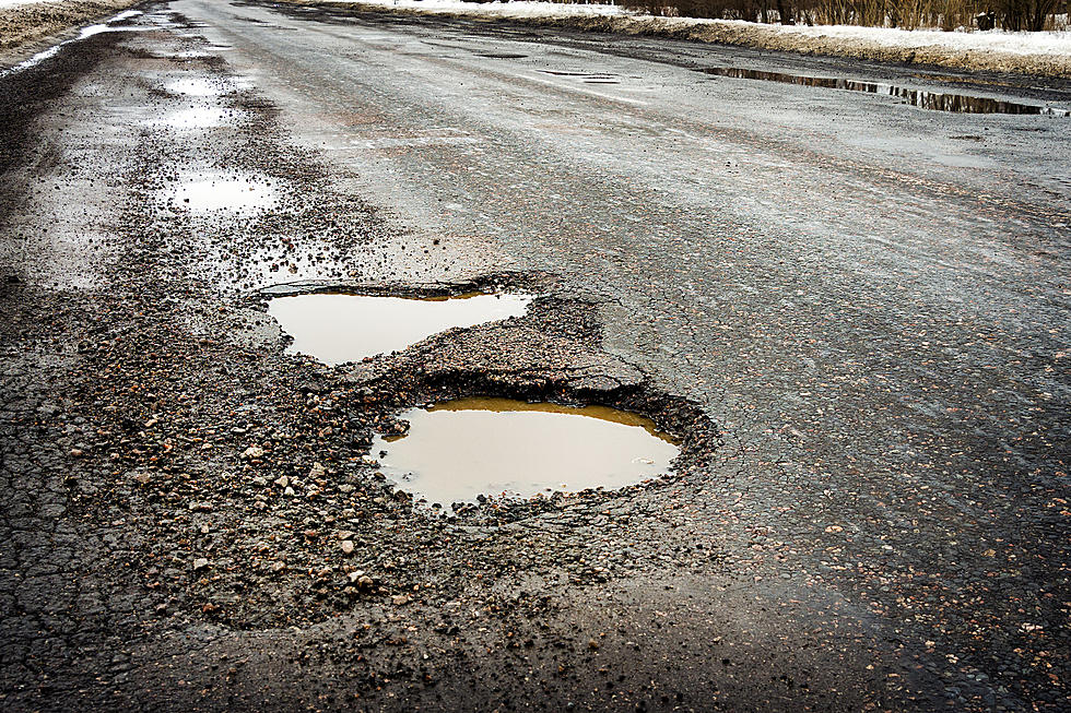
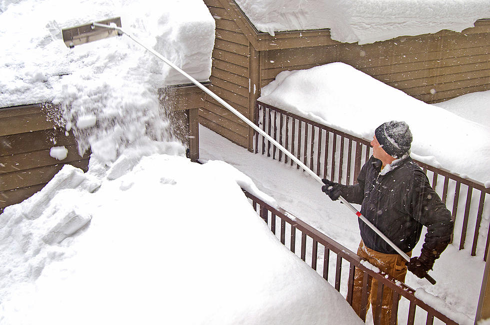
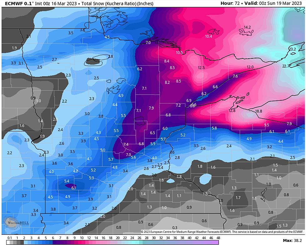
It may be hard to believe that more snow is on the way, but more snow is on the way, probably enough to shovel and plow Tuesday night into Wednesday morning. This is already the 6th snowiest winter on record at the Twin Ports, and this next storm will get us into the Top 5. Lovely!
Too soon? The National Weather Service of Duluth says another storm is set for the second half of the week, which may bring more "significant snowfall" and strong winds.
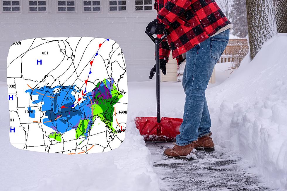
Another foot of snow and the Twin Ports will officially be enjoying the 5th snowiest winter on record. We will get closer to that mark today and Friday, with another 4-8" for most of us - a potential for a foot of snow for portions of the Northland.