St. Louis County Offers Online Map Showing Flooded Roads Closed To Traffic
The quick snow melt combined with a few intense spring storms caught many in the Northland off-guard; rivers, streams, and lakes in the area have risen to record-setting levels in a short amount of time.
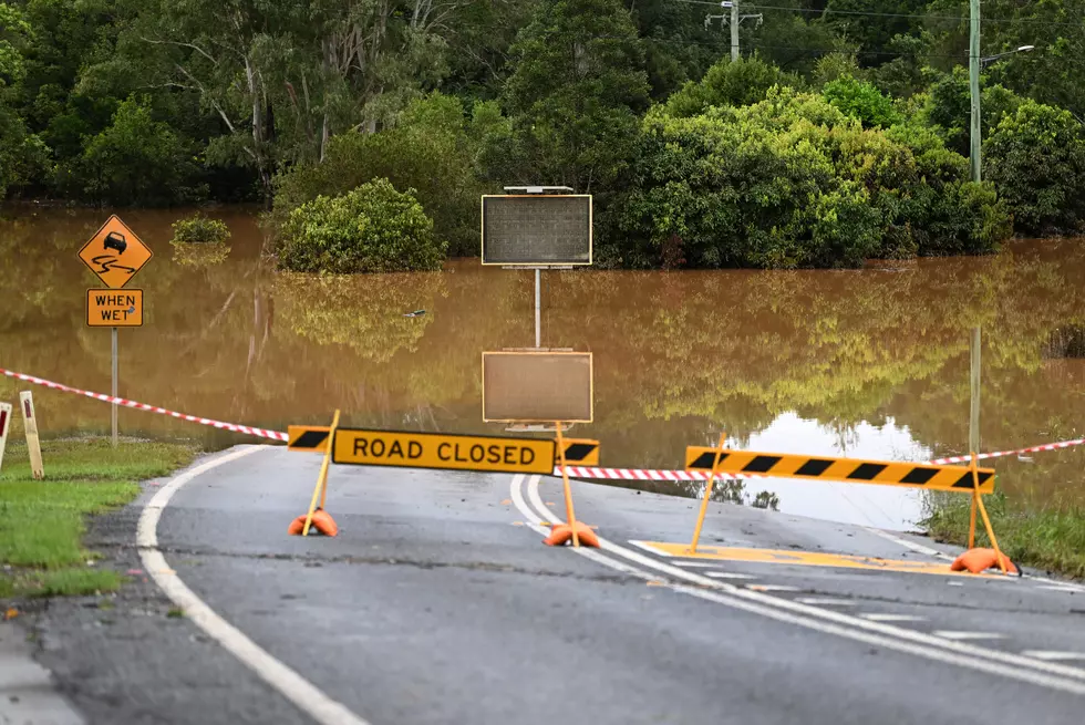
In some areas, that water has overflown its usual passages, spreading out and flooding area roads. This is especially true of some lesser-traveled, dirt and forest roads.
In order to provide people a better way of knowing which roads are closed due to flooding and what the potential detour routes could be, St. Louis County is offering a new online mapping feature on their website.
The 2022 Road Closures map was created by St. Louis County GIS staff and it's completely interactive. It provides real-time, updated information on all of the county roads that are currently closed to to the high water level and flooding. This includes roads maintained by the St. Louis County Public Works Department as well as forest management roads maintained by the St. Louis County Land and Minerals Department.

Due to the nature of these roads, the map should prove to beneficial to county residents and visitors - especially those who need to travel the "back roads" for outdoor activities. St. Louis County Land and Minerals Director Julie Marinucci explains:
"Our forest management roads are not heavily traveled, so when one is damaged by flooding, very few people are affected. But at the same time, with fishing season now open and many cabin owners returning to their property after the long winter, we'd hate for them to travel here and then belatedly learn that they can't get to their property due to a washout."

The GIS-based 2022 Road Closure due to flooding map doesn't just show which roads are closed; the staff has worked to provide other important details about the location, the cause of the closure, and department phone numbers people can call for more information if needed.
To view the 2022 Road Closure Map and get started, click here to go directly to the map feature page.
What Each Month Really Means When You Live In The Northland
6 Great Places To Fish From Shore In Duluth & Superior
LOOK: The most expensive weather and climate disasters in recent decades
Gallery Credit: KATELYN LEBOFF
More From KOOL 101.7