Parts Of The Upper Midwest Bracing For What Could Be First Accumulating Snow Of The Season Later This Week
There's a lot of uncertainty right now; but even if we don't see snow here in the Twin Ports, it will definitely be a lot colder at the end of this week. The National Weather Service is watching a weather system that appears to be bringing a lot of moisture and colder temperatures. That could mean snow - potentially significant snow - somewhere in the Upper Midwest.
What seems pretty certain
Moisture is expected Thursday through Sunday through much of the region, with colder temperatures becoming part of the equation over the weekend. As of right now, daytime highs on Friday could struggle to get out of the 40s, while this weekend's high temperatures might not climb out of the 30s. The long-range forecast shows chilly daytime highs in the 40s continuing into next week as well.
The Duluth National Weather Service, as of right now, is seeing a chance of mixed precipitation and/or snow Friday night through much of the weekend, but there is uncertainty about how much.
The Twin Cities office of the National Weather Service shared a graphic hinting at a colder than normal pattern for the entire region into the heart of October.
What is unknown
The big unknown is the track of this system. The reason that becomes a big deal is because it dictates not only where the heaviest precipitation might fall, but also where air cold enough to set up snow will show up. This is pretty common with early and late season storms, where some parts of a storm system might have warm enough air for rain, while other parts might have cold enough air for snow or other frozen precipitation.
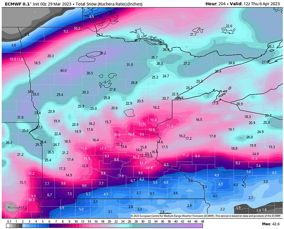
As the NWS points out in their post about this storm system (below), it is next to impossible to try to forecast snowfall totals this far out, but it is looking increasingly likely that somewhere in Eastern North Dakota and/or Northern Minnesota will see the first shovel-able snow before the end of this coming weekend. As of right now, it looks most likely in Eastern North Dakota and Northwestern Minnesota, but there is also a chance things could shift between now and then.
The Duluth National Weather Service office tweeted that as of right now, the most likely scenario is around an inch of snow around our area, but higher amounts are possible.


