
NOAA Winter 2019-2020 Outlook Looks Snowier Than Normal
The National Oceanic and Atmospheric Administration (NOAA) released their winter outlook for the upcoming season today, and things could be particularly snowy for Minnesota and Wisconsin.
In the season outlook, the government weather organization examined the general weather probabilities from December 2019 through February 2020 in two key categories; temperature and precipitation. The outlooks analyze the likelihood of average, above average, or below average in both of those categories.
One key thing that the forecast publication points out is that there are no El Nino or La Nina influences expected for this winter. Forecasters from NOAA's Climate Prediction Center say this could result in larger swings in temperature and amount of precipitation as other weather factors take control. This speaks to the point that the temperature and precipitation outlooks released speak in general terms for the season, and you should not be surprised by variances from these expected general predictions.
When it comes to temperature, a vast majority of the United States has an increased probability of a warmer than normal winter. The exception to that is our part of the country, including Minnesota, Wisconsin, the Dakotas, Michigan, Iowa, and other surrounding areas. What does that mean for our area (depicted in white on the map below) is that there is an equal chance of seeing above or below normal temperatures, or potentially just "average" temperatures"

On the precipitation side of the outlook, things to lean more toward one side of the spectrum. In the area shaded in green (seen below), there is an increased probability of a wetter than normal winter season. At the heart of this swath through the lower 48 states is Minnesota and Wisconsin, indicating a 40-50% probability of a wetter than normal winter ahead. This increased probability of higher levels of precipitation means more snow than normal could be on the way for the season ahead.

NOAA explains that these seasonal outlooks are not meant to be detailed forecasts, but rather to allow areas around the country to prepare for conditions that appear to have a higher probability of happening. While there is a general sense that we could see more precipitation than average in Minnesota and Wisconsin, that doesn't mean we won't see dry stretches. The same is true for areas where warmer than normal temperatures seem likely. There could still be periods of brutal cold.
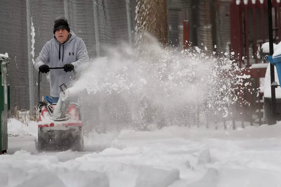
While no detailed forecast is valuable more than roughly 5 days out, this will give you a heads up that our country's weather organization sees a chance you might need to plan for more snow than average. Get your shovels ready!
More From KOOL 101.7
