National Weather Service Releases Duluth Outlook Through Early August
It has been a summer for the record books in so many different ways. One of those ways has definitely been our hot temperatures and heat waves.
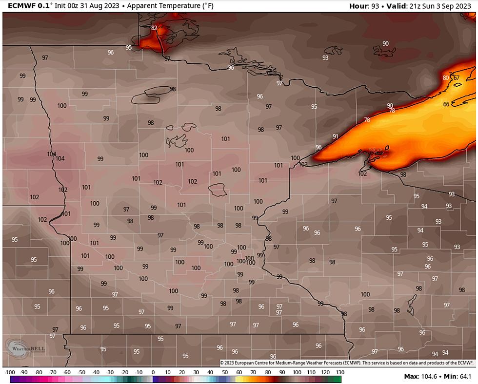
It looks like the heat isn't letting up much as we head into the end of the month and into early August, at least according to the National Weather Service Climate Prediction Center. They released an outlook for the entire country, including our region, on social media Tuesday (July 20th).
We all know it has been hot in the Duluth and Superior area. We have seen a few periods of prolonged hot temperatures, especially over the fourth of July weekend. It was predicted to be so hot that decades-long records were in jeopardy!
Now, two-thirds into the month and we are still dealing with brutal heat in the Twin Ports. Not only does the National Weather Service say it will continue but another local meteorologist says we could experience our warmest day on record ever in Duluth by the end of the month.

So what is the National Weather Service Climate Prediction Center forecasting for the end of the month? Hot temperatures into late July and early August!
Their forecast shows most of Minnesota and Wisconsin, including the Twin Ports, with a very strong chance for seeing above-average temperatures. The chance is about sixty-percent, which is high. The outlook is from the period of July 27th through August 2nd.
Like I said, this isn't a huge surprise, given how warm it has been so far this summer. Remember early June when we saw the warmest start to the month ever? When all was said and done, it was one of the warmest months of June the Duluth area has ever had.
All of this was especially interesting because we usually aren't that warm in Duluth around that time of year. In fact, it is pretty rare that we hit nineties at all that early on. I guess that set the tone for what we will continue to see into August.
So what about rain or precipitation for the state for the rest of the month? We all know we are in an intense drought situation for most of the state, including the Twin Ports. For reference, we are seeing one of the driest starts to the year ever in our area.
The National Weather Service of Duluth shared an outlook into the end of the month as well recently, and they say that the drought is likely to continue into the end of the month. This means no chances for heavy rain that could help ease the current conditions.
In fact, it would take a ton of rain over the course of the rest of the year to get us to where we need to be. Fingers crossed that we get some precipitation soon.
To top it all off, we are also seeing very poor air quality in northern Minnesota due to wildfires burning in Canada, with those poor conditions peaking on Tuesday (July 20th). Let's hope everything calms down soon.
11 Notable Twin Ports Weather Events From January To June 2021
Ways Winter 2020-2021 Was So Bizarre For The Northland
More From KOOL 101.7


