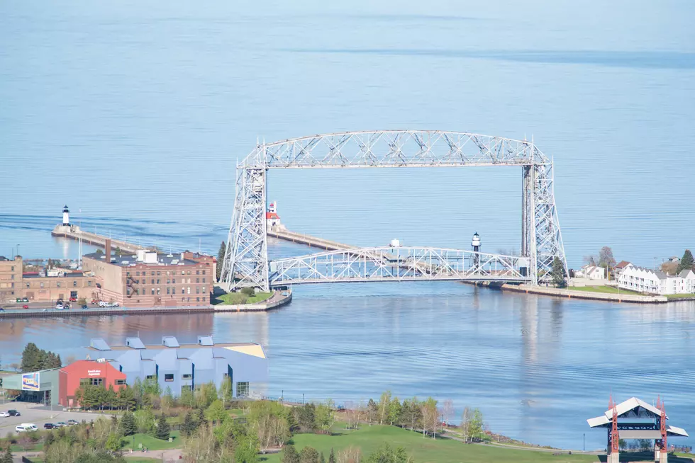
Get Outside! Duluth, Superior Area to Enjoy Warm Tuesday Temps Ahead of Cold Front
The unseasonably warm temperatures the Northland has experienced at times during the fall will continue, if only for one more day. If you want to enjoy 70 degrees or warmer, you may want to head outside early Tuesday afternoon.
The National Weather Service in Duluth says Tuesday will feature gusty winds, as high as 30 mph, but temperatures will be well above normal. However, things will change as early as Tuesday afternoon.
They shared their prediction Monday afternoon on their official Facebook page.
They then updated their prediction to show what the rest of the week would likely have in store, including the word we all know too well: Snow. Well, to be fair they say there is a chance for snow showers, but that word is still in there.

WDIO-TV Chief Meteorologist Justin Liles agreed with their prediction for week, adding that the chance Tuesday showers and thunderstorms would be after 4:00 p.m. Here is Justin's forecast for the Twin Ports area:
- Tuesday: A 20 percent chance of showers and thunderstorms after 4pm. Mostly sunny, with a high near 73. Breezy, with a south wind 10 to 15 mph, with gusts as high as 30 mph.
- Wednesday: A chance of PM Thunderstorms, Partly sunny, with a high near 53. Breezy, with a west wind 10 to 15 mph, with gusts as high as 25 mph.
- Thursday: Scattered Showers possible, Mostly cloudy, with a high near 43. Breezy, with a northwest wind around 15 mph, with gusts as high as 25 mph.
- Friday: Partly sunny, with a high near 43. West wind around 10 mph, with gusts as high as 15 mph.
- Saturday: Mostly cloudy, with a high near 46. West wind 5 to 10 mph, with gusts as high as 20 mph.
- Sunday: A slight chance of snow showers. Partly sunny, with a high near 40. Breezy, with a northwest wind around 15 mph, with gusts as high as 25 mph.
The moral of the story is everyone get outside Tuesday, and every nice day this fall, as we get ready for the inevitable.
LOOK: The most extreme temperatures in the history of every state
Gallery Credit: Anuradha Varanasi
Ways Winter 2020-2021 Was So Bizarre For The Northland
Gallery Credit: Ken Hayes
More From KOOL 101.7