UPDATED: Twin Ports Could See Thunderstorms, Powerful Wind Gusts During Messy December Storm
The content of this post, which was originally published on Tuesday evening, has been updated as of 9:00 am Wednesday, December 15.
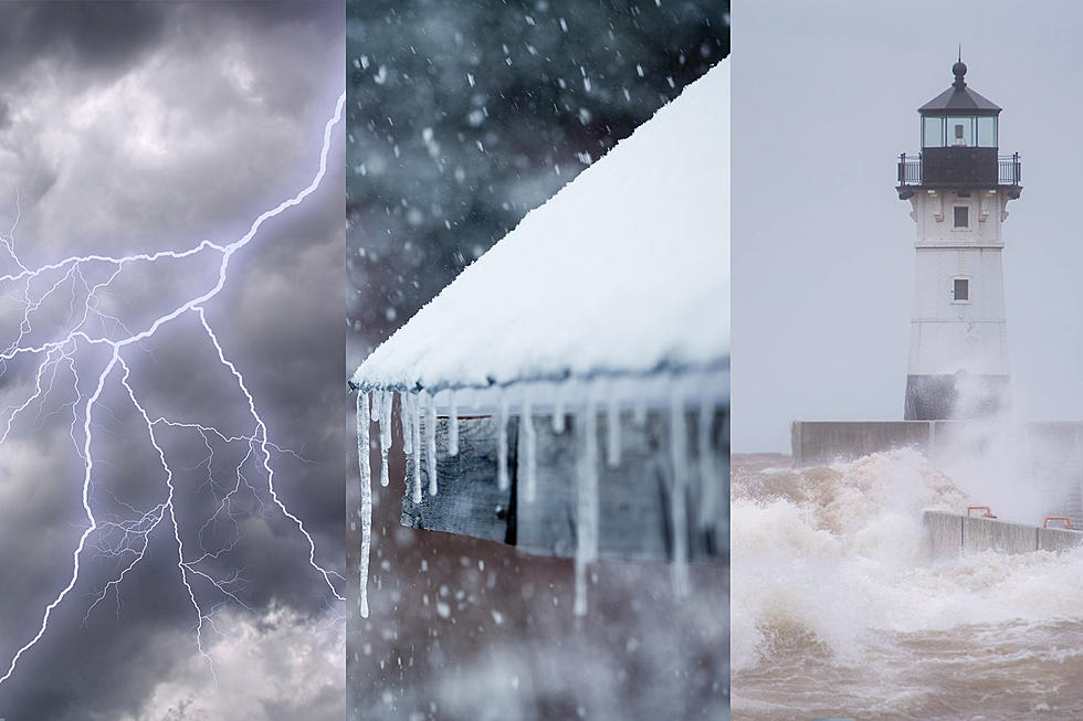
The weather across Minnesota and Wisconsin is going to be downright wild for a couple days this week, especially considering it is mid-December. Severe thunderstorms, powerful wind gusts, rain, ice and snow are all part of the outlook across the region in what looks like a wild, messy storm system that will sweep through Wednesday and Thursday.
This complex, powerful system is going to drag unseasonably warm and humid far north. This will be a driving force behind many aspects of this storm, which is bringing a severe weather threat to parts of Minnesota and Wisconsin.
With so much going on with this storm system, I'm going to break this all down into a few different areas of interest that are sort of the "headlines" of this storm.
Severe thunderstorm threat
The Storm Prediction Center updated their Wednesday storm outlook, expanding the area and increasing the risk potential for the heart of the storm potential.
The outlook issued Tuesday for today's storms had a "slight" risk for widespread severe weather across parts of Iowa and southern Minnesota and a lower level "marginal" risk in an area surrounding that, encompassing the Twin Cities and parts of Western Wisconsin. The Twin Ports area was on the edge of a "general thunderstorms" risk area. In their updated outlook for today, a lot has changed.
As a quick refresher, the Storm Prediction Center has a 5-point scale of storm risk potential, ranging from "marginal" at the low end to "high" at the high end of the scale. Much of what was categorized yesterday as having a slight (category 2) risk has now been elevated to a "moderate" (category 4) risk, including a swath of Iowa, areas like Owatonna and Rochester and Southeastern Minnesota and areas just across the border in Wisconsin. A wider area of "enhanced" (category 3) and "slight" (category 2) now exists, and the "marginal" (category 1) risk area has expanded a lot from yesterday's outlook to today, now encompassing a much larger portion of Wisconsin and areas north of the Twin Cities.

The Twin Ports area along with the Wisconsin South Shore is now on the northern fringe of the "marginal" risk area, which means isolated severe storms are possible. The large light green area that covers the rest of Northern Minnesota is the "general" (non-severe) storm risk area.
Closer to the heart of the bullseye on the map below, there is a risk of straight-line winds, the potential of a few tornadoes, and possibly some damaging hail. These threats are not particularly likely as far north as the Twin Ports area, but an isolated severe storm could bring with it any of those potentials even as far north as the Twin Ports area during this storm system.

Powerful wind gusts as storm moves out
Separate from wind that will come from Wednesday's thunderstorms, the departure of this system will bring sustained windy conditions with strong gusts possible. As the storm moves out Wednesday night through Thursday, powerful wind gusts are expected.
Some places along the Lake Superior shoreline could see gusts as high as 60 mph, which has prompted the National Weather Service to issue a gale warning for areas along the Lake Superior shoreline. The NWS has also issued a high wind warning for portions of Minnesota and all of Northern Wisconsin as widespread gusty wind conditions are expected as the storm leaves the region.
The map on the left shows possible wind gusts, with areas along much of the shoreline in the Northland in position to see 50-60 mph gusts at times. Note that map on the right is outdated information, but the map on the left does still give an accurate idea of what sort of wind conditions could be seen.
Mixed bag of precipitation possible
Due to the unseasonably warm and humid air this system is bringing in with it, forecasting exactly what to expect for this storm is particularly challenging. The biggest unknown this brings is what form precipitation will fall in, and when it might change from one kind to another. Since Tuesday's update, there is a clearer picture of when this may happen. While snow is a part of the equation, it is not the most important part of the precipitation picture for this storm.
The heaviest band of rain (if it all falls as rain) is expected from the Aitkin area, up toward the Iron Range and to the Canadian border. In this area, 1 to 1.5 inches of rain is possible, which combined with frozen ground, could lead to some localized flooding.

Rain is expected to change over to snow sometime Wednesday night across Northern Minnesota. Cold air is expected to filter in from west to east through the night, causing that change of rain to snow. During that changeover time, mixed precipitation and freezing rain could become an issue. Additionally, the drop in temperatures on the backside of this storm are bringing about concerns of "flash freezing", where wet surfaces become icy as temperatures drop. This has the chance to make for dangerous driving conditions as well as slippery sidewalks and other surfaces.
Snowfall totals are not expected to be too large, with the heaviest snow expected in Northwestern Minnesota, where the cold air will change rain to snow first. The Twin Ports area isn't likely to see too much snow at all, but whatever does fall will be blown around by the aggressive wind gusts expected as the storm leaves.

The combination of light snow that will get blown around, some light freezing drizzle, the potential of "flash freezing" of wet surfaces are all combining for potentially bad driving conditions. Because of these factors, the National Weather Service's "Winter Storm Severity Index" shows some minor to moderate impacts, mostly related to driving conditions.
The WSSI map shows a prediction of what areas could see worse impacts than others, with areas in in orange predicted to see higher potential impacts. Some of those areas include places in higher terrain in the Twin Ports area. You can see a zoomable, updated version of this map here.

Timing out the storm
Light rain is possible in the early parts of the day Wednesday across the Northland, with temperatures pressing into the 40s and 50s. Duluth could see temperatures as high as the mid 40s during the day. Wednesday afternoon and evening, precipitation chances will increase. The greatest chance for thunderstorms, mostly to the south and east of the Twin Ports, is Wednesday afternoon and evening.
Wednesday night, rain will change over to snow from western portions of the region to the east as cold air pushes in on the backside of this storm. During this changeover period, chances of mixed precipitation or some light freezing rain is possible. Accompanied by the colder air will be strong winds, which will grow in intensity early Thursday. It will stay windy through much of the day Thursday, as temperatures fall through the day.
The most recent forecast from the National Weather Service shows temperatures in the Twin Ports falling from the low to mid 30s at midnight Wednesday night to 21 degrees by 8 am Thursday morning. Temperatures will continue to fall through the day, bottoming out around 10 degrees Thursday night.Wind chill values during the day on Thursday will be near zero or in the single digits above zero.
After the storm
Friday morning will start out cold, with temperatures around 10 degrees and wind chills around 0. While it won't be as windy as it was Thursday, it will remain breezy. It will only warm up to about 20 degrees Friday.
Looking longer-term, the more seasonable air temperatures appear to stick around. This weekend and the start of next week will see daytime highs in the 20s.
11 of the Most Devastating Weather Disasters in Minnesota Throughout The Years
Gallery Credit: Jessica Williams
More From KOOL 101.7