
Blizzard Warnings Issued For Portions Of Minnesota + North Dakota, Up To 19 Inches Of Snow Possible
As the Twin Ports area braces for yet another winter storm, with the National Weather Service issuing an official Winter Storm Warning Monday afternoon, it could always be worse. That is likely the scenario that will unfold for the International Falls area in Minnesota and in portions of North Dakota.
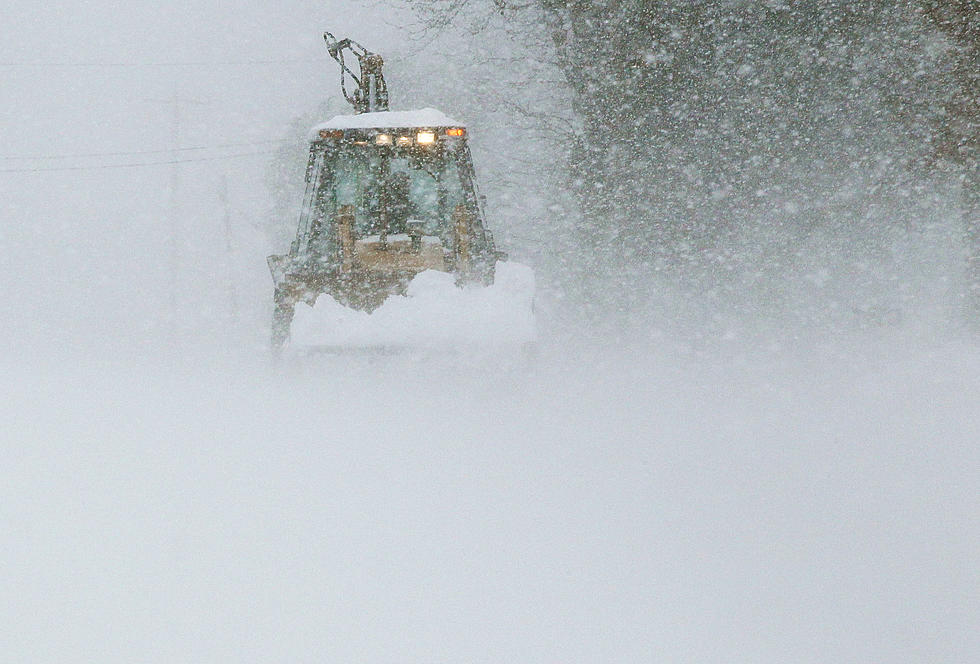
If you had any travel plans in those areas, you'll like likely want to postpone them as the National Weather Service has issued Blizzard Warnings with up to 19 inches of snowfall possible in some areas.
The Blizzard Warning for the International Falls area in Minnesota was issued just before 3:00 p.m. Monday:
- WHAT: Blizzard conditions expected. Total snow accumulations of 8 to 14 inches. Winds gusting as high as 45 mph.
- WHERE: Koochiching County. This includes the Tribal Lands of the Bois Forte Band, Nett Lake area.
- WHEN: From noon Tuesday to 7 PM CDT Wednesday.
- IMPACTS: Travel could be very difficult to impossible. Areas of blowing snow could significantly reduce visibility. The hazardous conditions will impact the morning and evening commutes.
- PRECAUTIONARY/PREPAREDNESS ACTIONS: Travel should be restricted to emergencies only. If you must travel, have a winter survival kit with you. If you get stranded, stay with your vehicle.

Earlier in the afternoon, the National Weather Service issued a Blizzard Warning in North Dakota, including the cities of Grand Forks, East Grand Forks, Hallock, Karlstad, Lancaster, Roseau, Warroad, Greenbush, Warren, Stephen, Argyle, Newfolden, Middle River, Grygla, Thief River Falls, Red Lake Falls, Cando, Langdon, Cavalier, Walhalla, Drayton, Pembina, Neche, St. Thomas, Fort Totten, Maddock, Leeds, Minnewaukan, Devils Lake, Grafton, Park River, Lakota, Mcville, Aneta, Tolna, Edinburg, Adams, and Lankin:
- WHAT: Blizzard conditions expected. Total snow accumulations of
8 to 19 inches. Winds gusting as high as 45 to 50 mph. - WHERE: Portions of northwest Minnesota and northeast North Dakota.
- WHEN: From noon Tuesday to 7 AM CDT Thursday.
- IMPACTS: Travel will be very difficult to impossible. Widespread falling and blowing snow will significantly reduce visibility. The hazardous conditions will impact the morning and evening commutes.
- ADDITIONAL DETAILS: Blizzard-force winds will not occur during the entire time frame. However, whiteout conditions due to heavy falling snow may.
- PRECAUTIONARY/PREPAREDNESS ACTIONS: Travel should be restricted to emergencies only. If you must travel, have a winter survival kit with you. If you get stranded, stay with your vehicle.
The National Weather Service also produced a graphic showing areas that had the strongest potential to receive 12" of snow or more.
While travel is not advised during the storm, it's important to remember the latest road conditions for Minnesota can be found at 511mn.org. North Dakota road conditions can be found at travel.dot.nd.gov. You can also call 5 1 1 to obtain road conditions for either state.
TIPS: Here's how you can prepare for power outages
KEEP READING: Get answers to 51 of the most frequently asked weather questions...
More From KOOL 101.7
