How Visible Will The Solar Eclipse Be In Duluth-Superior On August 21?
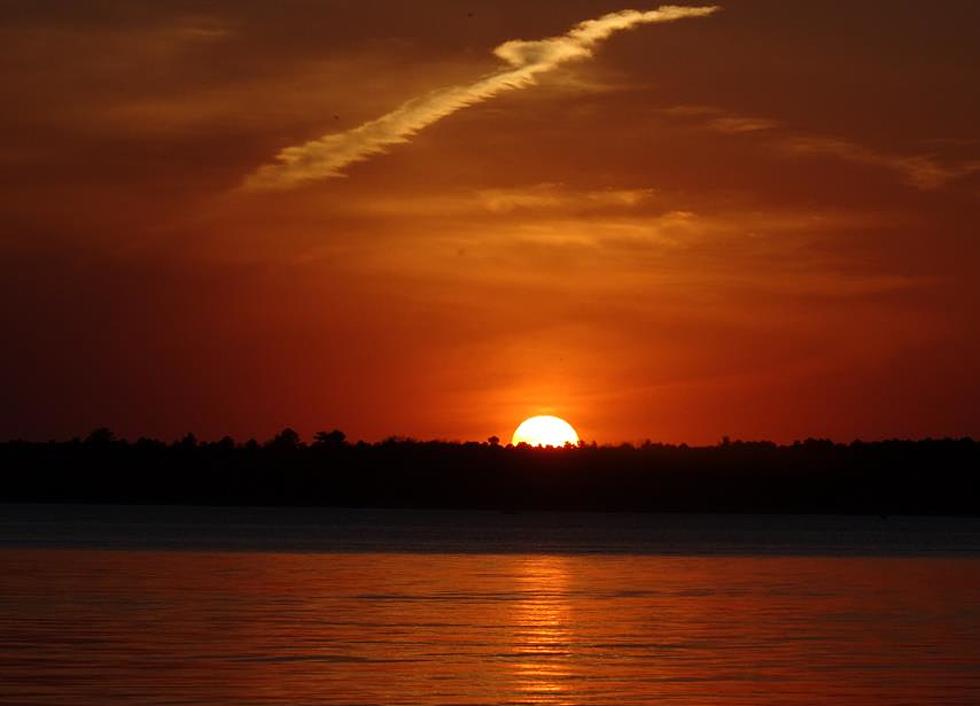
It seems like everyone is talking about the upcoming solar eclipse that is set to occur over North America on August 21. Part of what makes this such a big deal is that an eclipse of this nature hasn't happened since 1979.
One of the items that some people are overlooking is the fact that an eclipse isn't visible the same way on every location on Earth. Factor in the trajectory, your latitude/longitude location, and things like atmospheric conditions and there is a sliding scale as to how much of the eclipse will be visible.
That's why I found this map that I found on the NOAA website interesting. It plots the trajectory of the eclipse onto a map of the United States, while also displaying the average historical cloudiness on August 21. Obviously in Duluth-Superior, we're not in the path of the trajectory; a quick glance at the map also shows that historically, we're pretty cloudy on that date as well. Both of these factors don't bode well for a "great" visual experience for the upcoming eclipse. I'm not a scientific expert - and I'm not suggesting that we won't be able to experience "some" of the eclipse, but you'll probably want to travel somewhere else if you're looking for the full maximum effect on August 21.
More From KOOL 101.7